DIGITAL SURVEYS
AND BIM
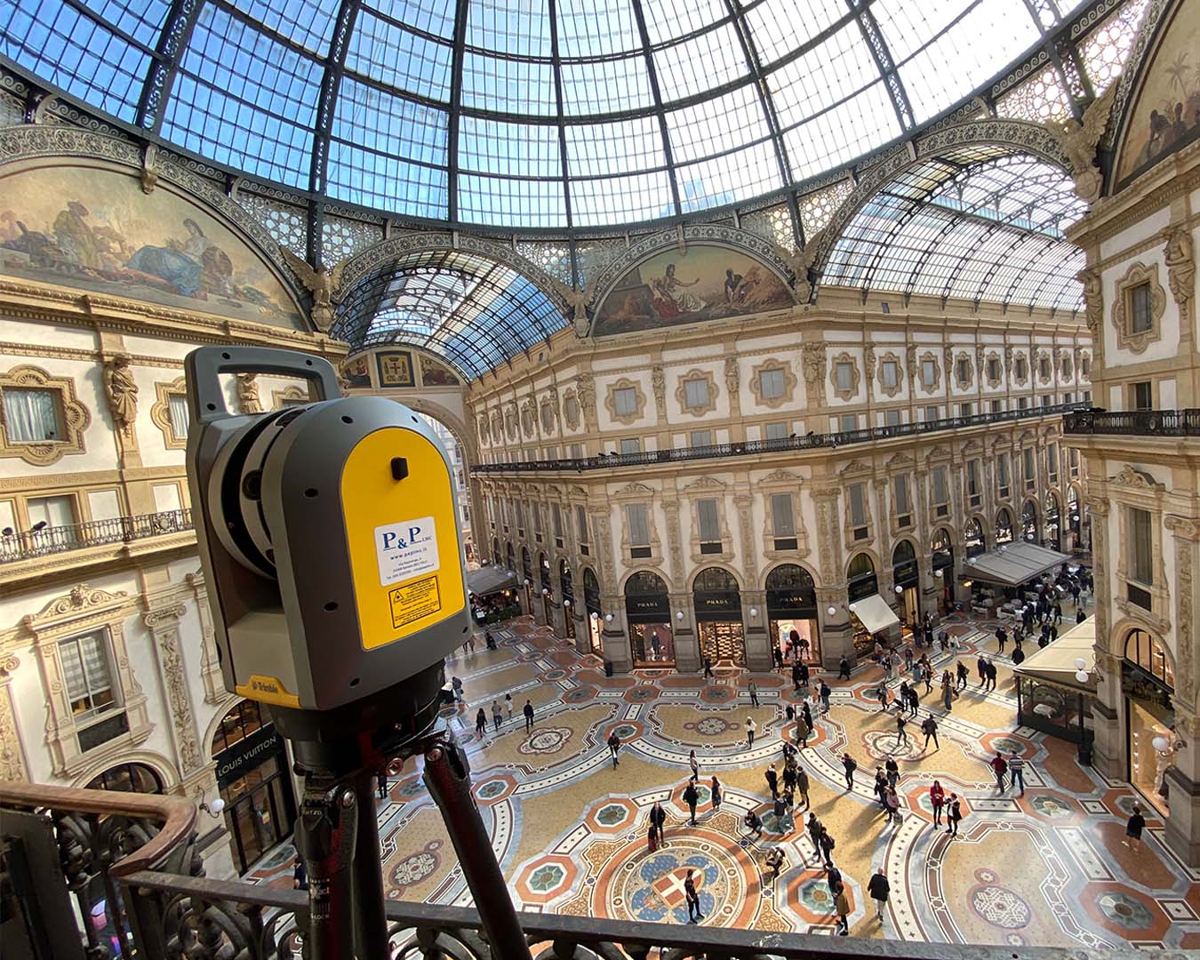
High accuracy: The laser scanner captures data with a high level of precision, providing detailed and reliable measurements.
Time saving: Laser scanner technology allows you to carry out measurements reducing the time required compared to traditional methods.
Complete documentation: The data acquired with the laser scanner ensures clients receive complete and detailed documentation of any environment or object.
Digital visualization and archiving: The data collected is navigable, measurable, and easily archivable in digital format.
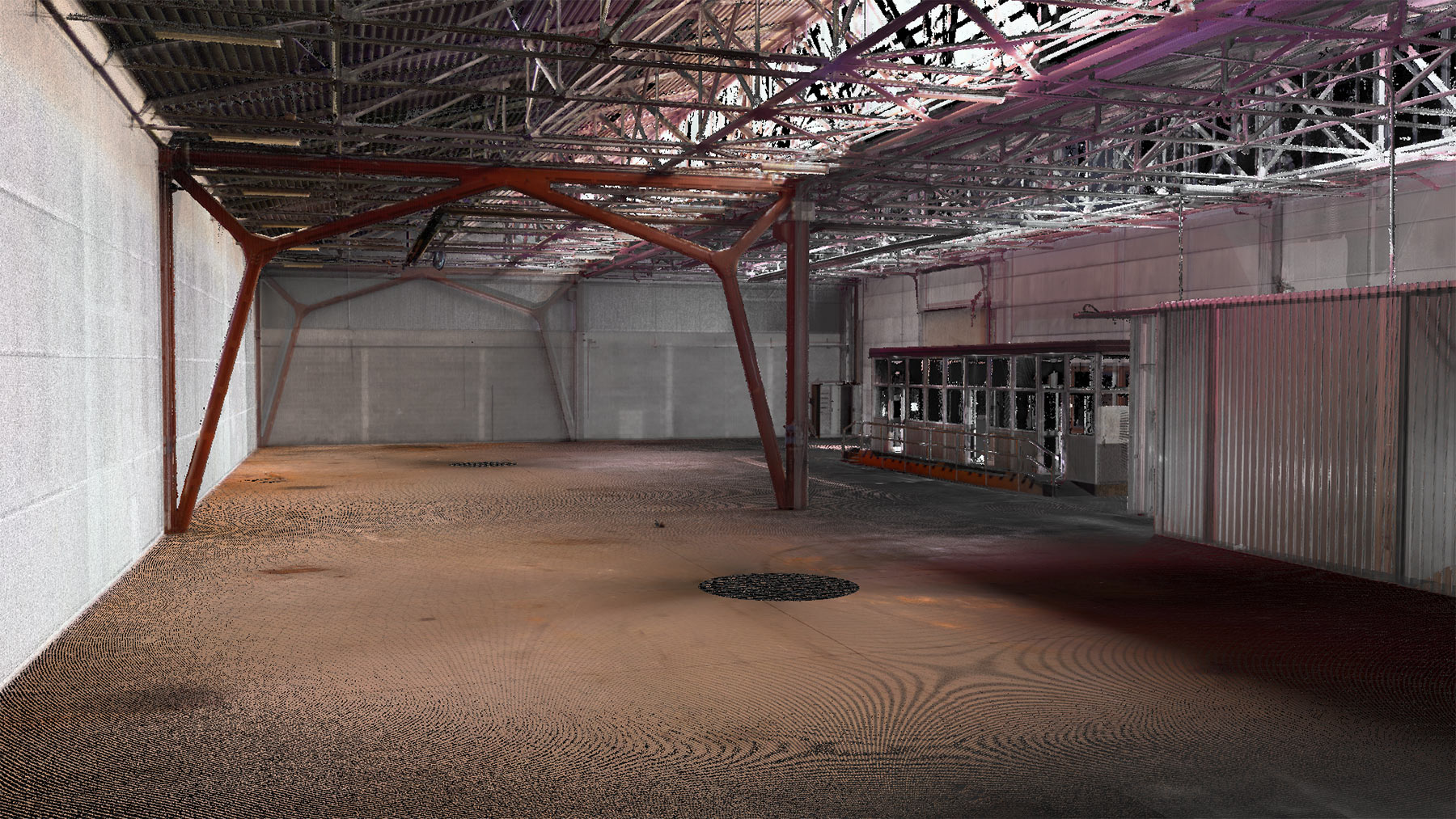
3D Survey of an established industrial building
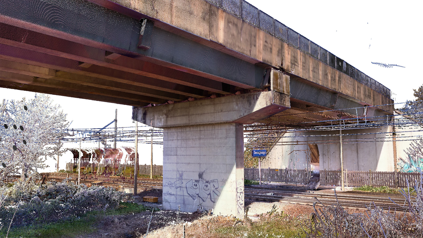
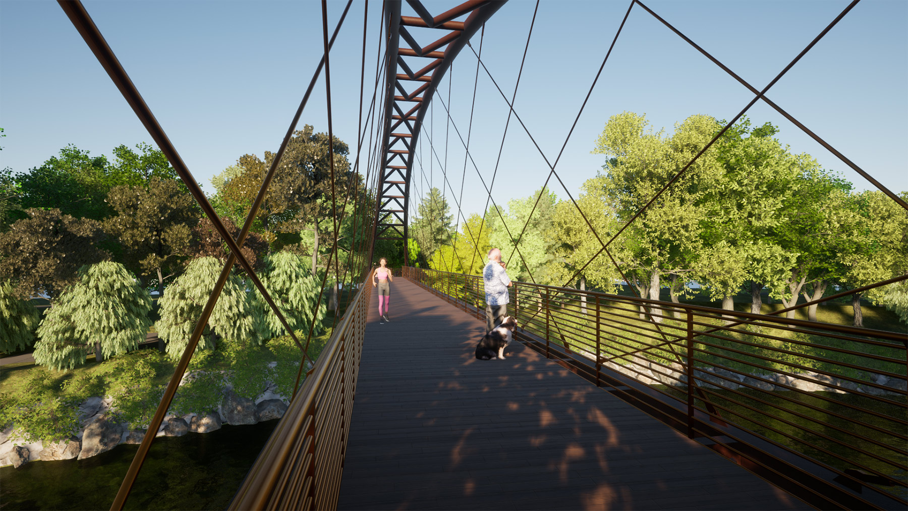
Survey of state of fact an overpass
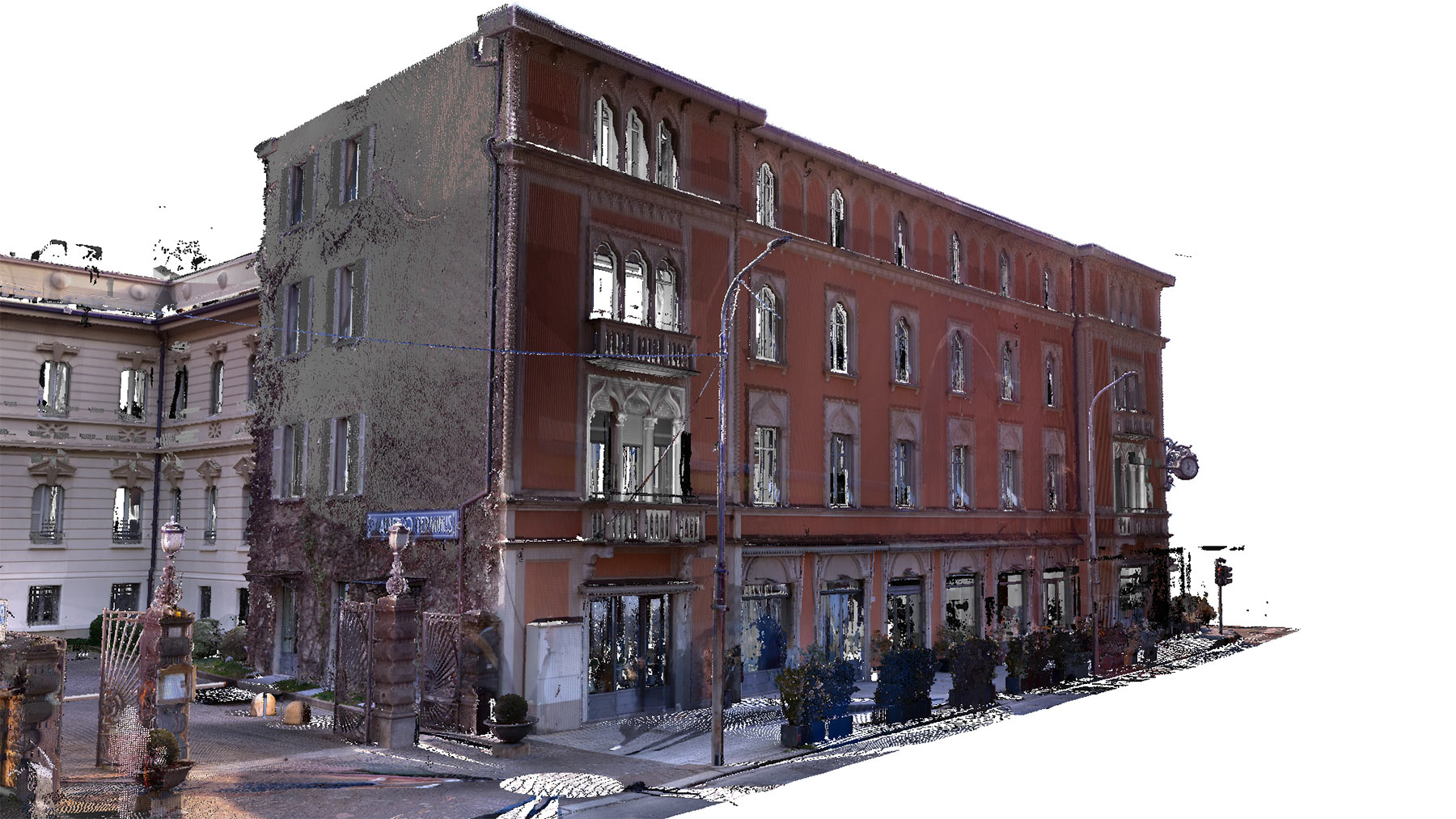
Survey of state of fact a hotel
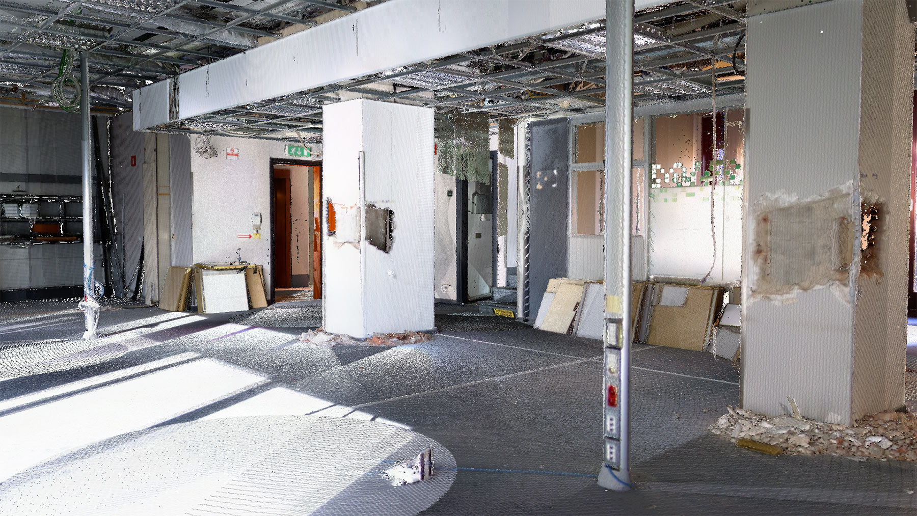
3D Survey of an established residential building integrated with exploratory structural investigations.
SURVEY - INVESTIGATIONS - MONITORING
ACOUSTICS AND VIBRATIONS
In the field of environmental acoustics, P&P boast an important experience both in the execution of acoustic monitoring campaigns and in the execution of studies ...
IN SITU TEST AND DIAGNOSTICS
P&P performs static and dynamic load tests on multiple types of structures in the civil and industrial fields, as well as in the infrastructure sector.
STRUCTURAL MONITORING
P&P designs, manufactures and installs static and dynamic monitoring and surveillance systems equipped with specific automatic management software.
BRIDGES AND INFRASTRUCTURE
Road and rail transport infrastructures have always been part of the P&P Group's scope of intervention which supports the managing body of the road infrastructure in ...
3D Survey of an established residential building integrated with exploratory structural investigations.
With these instruments, P&P offers the following services:
- Architectural surveys of buildings
- Structural surveys of structures
- MEP surveys of buildings
- Topographic survey
- Monitoring
- Large-scale site surveys
- Thermographic investigations
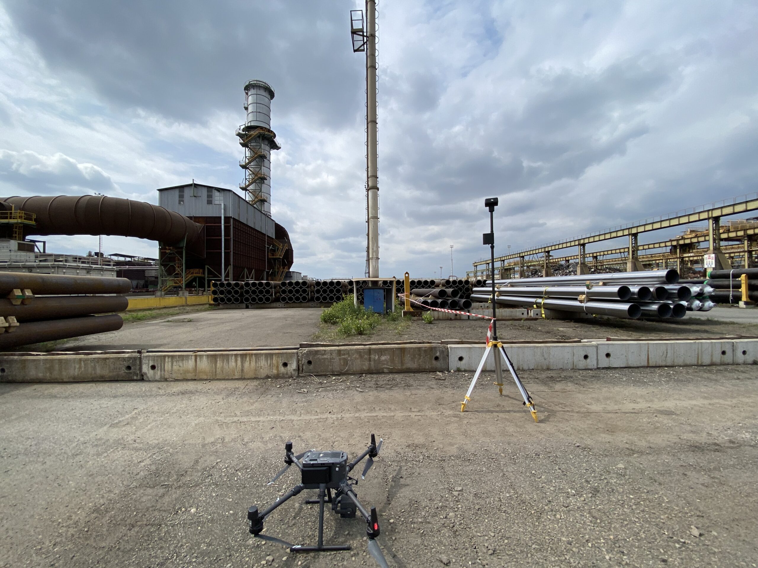
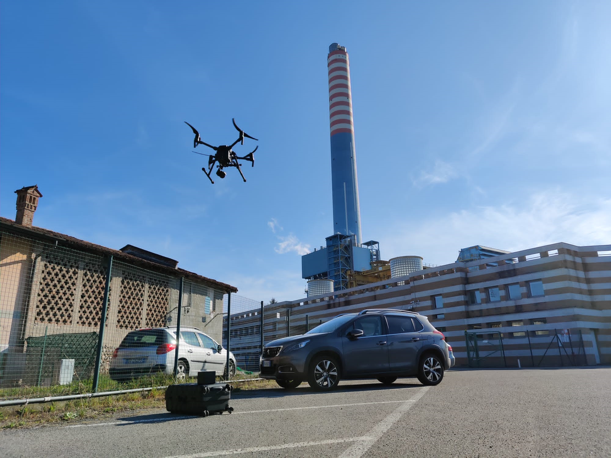
COMPLETE AND MEASURABLE SURVEYS
The result of the synergy between the use of the different instruments available is a digital model of the object discretized into millions of points which allows us to have a complete and measurable survey available in every visible part of the object investigated and which represents the basis for subsequent operations.
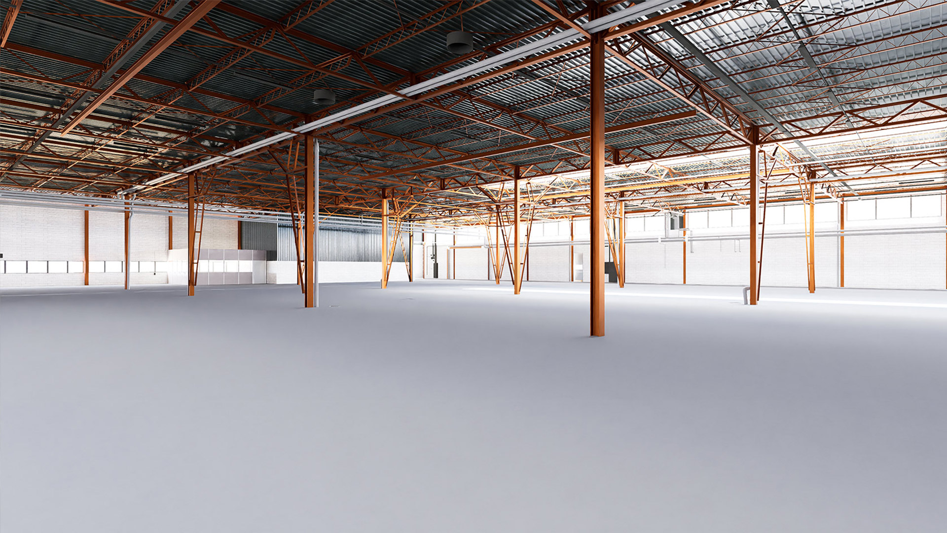
Starting from the reprocessing of the point cloud, P&P offers 2D outputs such as floor plans, sections, elevations, and 3D models in a BIM methodology according to the needs of the client 2D outputssuch as for example floor plans, sections and elevations and 3D models in a BIM perspective according to the particular needs of the customer.
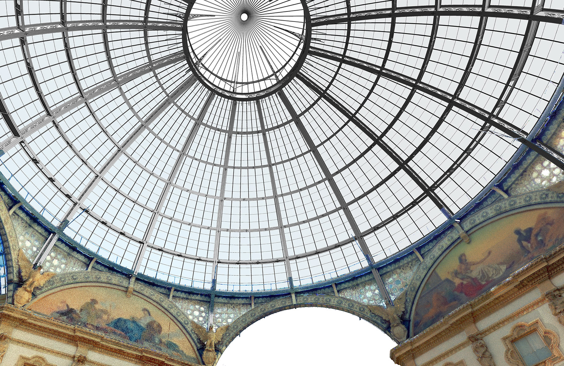
Structural survey – output BIM model

Structural survey – output BIM model

Architectural survey – 2D output

Architectural survey – 2D output
P&P offers various solutions and possibilities suitable for every budget, creating BIM models with variable levels of detail in different disciplines:
Architectural: models developed to represent all the architectural elements of the building.
Structural: representative models of all the elements that constitute the load-bearing structure.
MEP (Mechanical, Electrical, Plumbing): models of plant systems, such as mechanical ducts, pipes, and lighting systems.
